Kerfies, Cleggies and all that.
Rhyl, Flintshire, Wales, United Kingdom
Early Beginnings
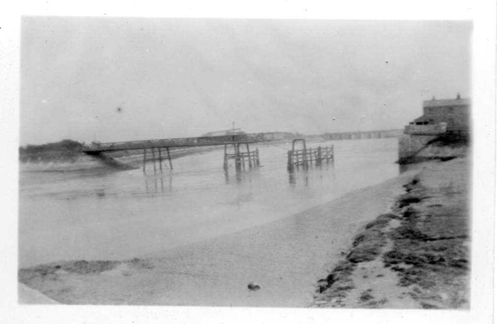
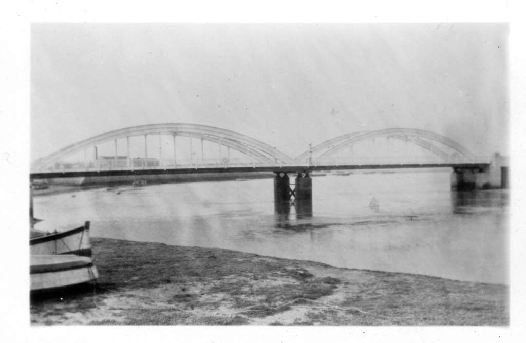
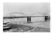
Rhyl started as a small fishing village. Its name appears in historical documents as early as 1301, with various spellings such as Hulle, Ryhull, and Rhûl. In the mid-18th century the land by the sea was either mud and marshes or dunes and windswept mounds of sand. There was little more to Rhyl than the few roughly built cottages of farmers and fishermen. There were no sea defences, no quays or landing stages, and no bridge. To cross the River Clwyd or to moor a ship, you had to travel up the estuary to Rhuddlan. Away from the beach, the farmland was probably slightly better, but still poor and marshy in places. Rhuddlan was the nearest church and where you would have to go to get your day-to-day provisions.
19th Century: Rise as a Seaside Resort
The 19th century marked a transformative period for Rhyl. Around 1820, it began to develop as a seaside resort, attracting visitors with its extensive sandy beaches and pleasant coastal climate. The construction of the railway in the mid-19th century further boosted its popularity, making it accessible to tourists from across the UK. In 1844 it became a parish in its own right, previously being a township within the parish of Rhuddlan.
Victorian Era
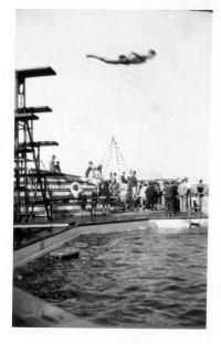
During the Victorian era, Rhyl saw significant infrastructure development. The town built numerous hotels, a pier, and an esplanade. The pier, constructed in 1867, was the longest in Wales at 2,355 feet. This period also saw the establishment of Rhyl Football Club in 1882.
In 1870-72, John Marius Wilson's Imperial Gazetteer of England and Wales described Rhyl like this:
RHYL, a small town and a chapelry in Rhuddlan parish, Flint. The town stands on the coast, at the mouth of the river Clwyd, and on the Chester and Holyhead railway, at the junction of the Vale of Clwyd railway, 30 miles W N W of Chester. Rose adjacent to the mansion of Ty-yn-Rhyl, an edifice of the 16th century, long the only house in the place; was a mere fishing-village so late as about 1830; has become a well-frequented watering-place; continues rapidly to improve and enlarge; commands very fine views to the Clwydian hills, Penmaen-Mawr, Ormes Head, and Snowdon; and has a head post-office, a railway station with telegraph, three good hotels, hot and cold baths, numerous bathing machines, an excellent bathing beach, a promenade pier 2, 115 feet long, formed in 1867 at a cost of £17,000, a large church built in 1839, a recent Independent chapel, a Baptist chapel built in 1867, other dissenting chapels, news-rooms, libraries, a billiard-room, and a bowling-green.
The tract around it is low, flat, and naturally marshy, but has been extensively improved into very valuable land; and an embankment, 80 feet wide and nearly 8 miles long, protects it from the sea. The chapelry was constituted in 1844. Pop. in 1861, 2,965. Houses, 627. The living is a curacy in the diocese of St. Asaph. Value, £155. Patron, the Vicar of Rhuddlan.
20th Century: Industrial and Social Changes
In the early 20th century, Rhyl continued to thrive as a holiday destination. The town also had a thriving brickmaking industry, with several clay pits and brickworks on its outskirts. However, the latter part of the century saw a decline in its popularity as a resort, leading to economic challenges.
Recent Developments
In recent years, efforts have been made to revitalise Rhyl. Significant investments have been directed towards improving its infrastructure and amenities. Projects have included the redevelopment of the seafront, the construction of new leisure facilities, and the enhancement of public spaces.

